
Want to calculate your exact route distance?
- Thread starter rsscott
- Start date
 'Trap' the paper with the point of the pencil and 'roll' the paper along the route you wish to measure - Surprisingly accurate with a little time and patience.
Related Articles
-
 MTF Enterprises announces acquisition of EMU Electric Bikes
- Started by: Pedelecs
-
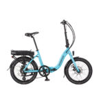 Wisper 806T folding bike wins Which? ‘Best Buy’
- Started by: Pedelecs
-
 Sustrans calls for protected cycle lanes
- Started by: Pedelecs
-
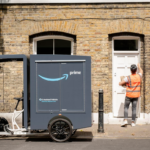 Amazon launch their first UK e-cargo micromobility hub
- Started by: Pedelecs