It's going to be one of the most severe storms we've had. It'll affect Scotland the most, but anybody North of Blackpool shouldn't plan to go out on their bike on Thursday afternoon through Friday. Winds could peak at 140 mph. Probably best not to go out in a car either. The rest of us will still have a pretty uncomfortable time too. Once that's gone through, there's another really fierce storm going to hit the south-east, so don't get too smug down there.
Storm Eowyn
- Thread starter saneagle
- Start date
Rare tornado warning in place with ‘once in 100-years’ Storm Eowyn set to hit UK

 metro.co.uk


Two dead and 1,100,000 in dark after Storm Eowyn crashes in with 114mph winds
A rare red weather warning has been issued as Storm Eowyn batters Britain.

G
Ghost1951
Guest

If this storm develops as predicted it will involve one of the lowest pressure events in history. The prediction is that by midnight Friday, the pressure around the Isle of Skye will be 939 mbars. The UK record from 1884 is 924 at Ochtertyre. For reference, pressure around Skye now is 1000mb.
During the great Michael Fish 'hurricane' of 1987, the pressure dropped to 953. We lost 15 million trees in that event.
I have an 80- foot ash tree hanging over my house. I reckon it weighs about 15 tonnes or more. Plenty of fire wood to keep warm in my tent then.
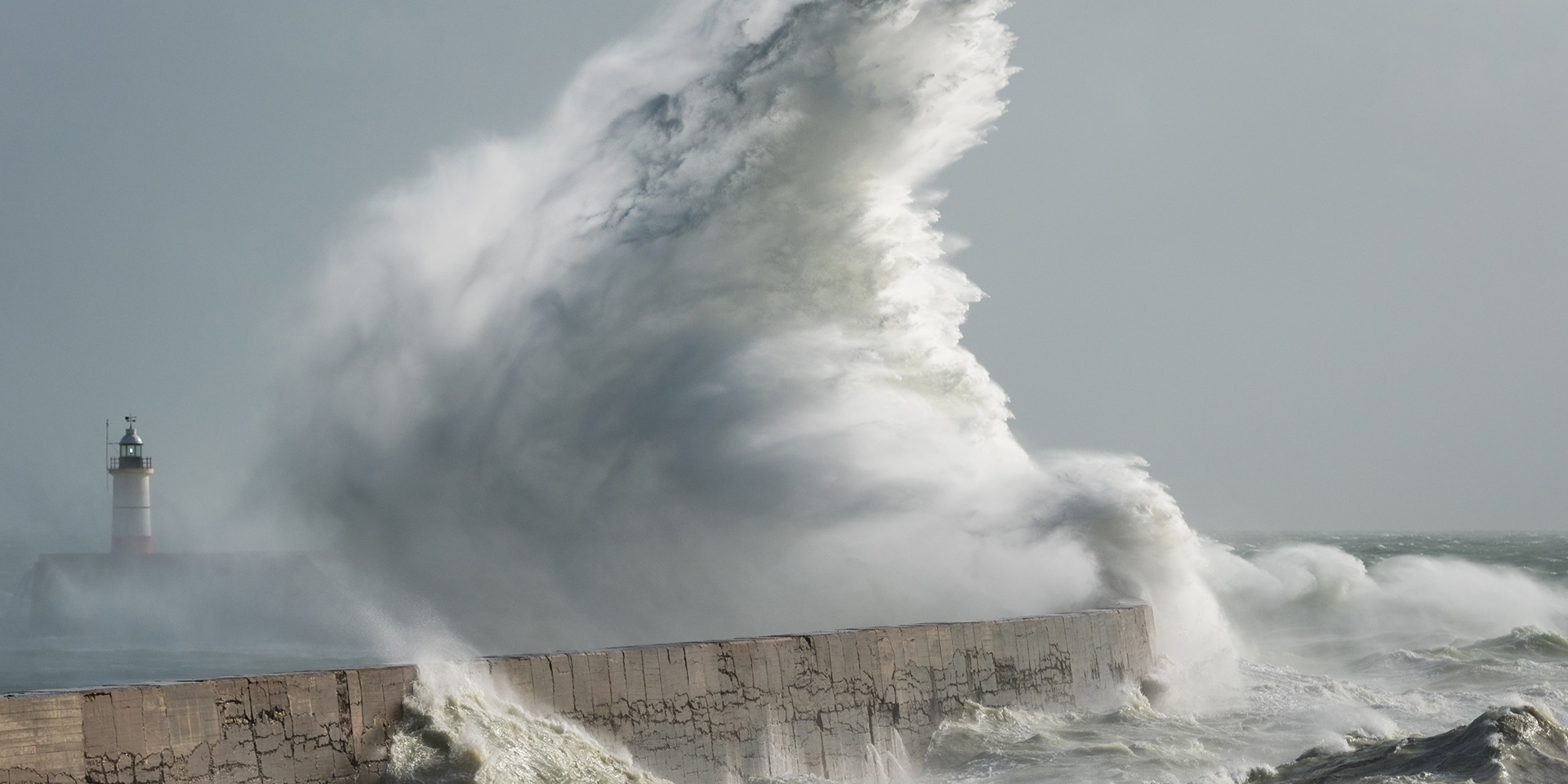
Lessons and legacy of the Great Storm of 1987
The Great Storm of 1987 affected many parts of the UK on the night of 15-16 October. Following the devastation it caused, find out how our approach has adapted and improved to give us more detail on potential future events.
Last edited by a moderator:
when is that?Once that's gone through, there's another really fierce storm going to hit the south-east, so don't get too smug down there.
Weather in History 1850 to 1899 AD
 premium.weatherweb.net
"1886
(December)
One of the deepest depressions on record crossed the north of Ireland this month in 1886. Around 1400hrs on 8th December, 1886, the sea level pressure at Belfast touched 927.2 mbar, a value that still stands as the British Isles December record. (as at 2006)(Burt/'Weather'/Feb2007)
In association with the event (above), severe gales were reported widely across the British Isles (& adjacent regions of maritime NW Europe). Lamb notes Bft 11, ocnl Bft 12, the latter at some points on the west coasts of Ireland and France and in the Channel on the 8th. In Wales, great damage to tree stands.
On the 26th, a heavy snowfall (accompanied by a high wind) over southern Britain. The snowfall wrecked overhead telegraph wires and trees for several miles around London, as well as southern and SW England. Kent received over 30 cm of snow, with snowdrifts up to 2.5 metres.
Exceptionally sunny over England & Wales."
Last night, the various models showed 200+ km/hr. Which area were the BBC talking about? Here in Telford the Met office is predicting 52mph, 86 mph for Whitehaven and a bit more for further North.BBC saying 145km/h gusts rather than 140mph.
Last edited:
Just the red alert report.Last night, the various models showed 200+ km/hr. Which area were the BBC talking about? Here in Telford the Met office is predicting 52mph, 86 mph for Whitehaven and a bit more for further North.
Speeds will be higher at altitude, BBC likely reporting surface wind speed expectations. We'll see!
Which remote part of the west coast will you be taking your outfit to this weekend? Maybe you can try out a new style of hang gliding?Just the red alert report.
Speeds will be higher at altitude, BBC likely reporting surface wind speed expectations. We'll see!
I'm away down in north Wales, close to the southern edge of the red zone, needing to travel home to the north edge! Not trusting trains and ferries until Monday.Which remote part of the west coast will you be taking your outfit to this weekend? Maybe you can try out a new style of hang gliding?
Good luck with your journey.I'm away down in north Wales, close to the southern edge of the red zone, needing to travel home to the north edge! Not trusting trains and ferries until Monday.

Antarctica shattered extreme cold records during global heat wave
While 2023 is marked by unprecedented global heat waves, an unexpected twist occurred with extreme cold temperatures in Antarctica.
This can weaken the polar vortex, causing it to become unstable and meander. When this happens, cold Arctic air can spill southwards into regions that usually experience milder winters."
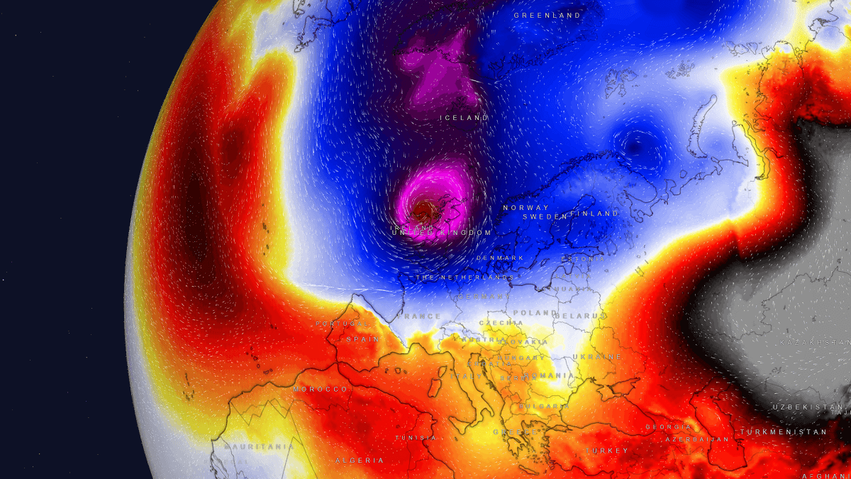
Multiple intense Atlantic storms will blast into Ireland and the UK next weekend
Get ready for powerful windstorms as the Polar Vortex disrupts weather patterns. Learn how intense storms will impact Western Europe and prepare for potential severe impacts.
Let's summarise that. The Artic is getting warmer due to global warming, even though the ice mass is getting larger, so the warmer air from it is making it colder to form deep depressions. Yup, that must be it."One key factor in this phenomenon is the disruption of the polar vortex, a large area of low pressure and cold air surrounding the Earth’s poles. As the Arctic warms faster than other parts of the world, the temperature difference between the Arctic and the equator decreases.
Antarctica shattered extreme cold records during global heat wave
While 2023 is marked by unprecedented global heat waves, an unexpected twist occurred with extreme cold temperatures in Antarctica.www.earth.com
This can weaken the polar vortex, causing it to become unstable and meander. When this happens, cold Arctic air can spill southwards into regions that usually experience milder winters."
"The ongoing disruptions of the Polar Vortex aloft led to its southern lobe emerging over North America. Its related cold wave will drag Arctic air mass onto the North Atlantic and produce intense storms. Those will travel into Western Europe, impacting Ireland, the UK, and France over the weekend and into the next week."
Multiple intense Atlantic storms will blast into Ireland and the UK next weekend
Get ready for powerful windstorms as the Polar Vortex disrupts weather patterns. Learn how intense storms will impact Western Europe and prepare for potential severe impacts.www.severe-weather.eu
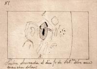
"On 10 September 1886, at the age of just 17, a young amateur astronomer using a modest telescope observed from Madrid one of these sudden flashes in a sunspot. He wrote about what he saw, drew a picture of it, and published the data in a French scientific journal. This is what researchers from the Instituto de Astrofísica de Canarias and the Universidad de Extremadura have recently found."
""Furthermore, the white-light flare observed by Valderrama is, chronologically, the third one recorded in the history of solar physics", adds Vaquero. The first solar flare was recorded by British astronomer Richard C. Carrington on 1 September 1859, and the second was described on 13 November 1872 by the Italian Pietro Angelo Secchi. The two flares were widely known in their day, as they sparked a debate on whether or not they could have an impact on the Earth. "
""Furthermore, the white-light flare observed by Valderrama is, chronologically, the third one recorded in the history of solar physics", adds Vaquero. The first solar flare was recorded by British astronomer Richard C. Carrington on 1 September 1859, and the second was described on 13 November 1872 by the Italian Pietro Angelo Secchi. The two flares were widely known in their day, as they sparked a debate on whether or not they could have an impact on the Earth. "
A solar flare recorded from Spain in 1886
Satellites have detected powerful solar flares in the last two months, but this phenomenon has been recorded for over a century. On Sept. 10, 1886, at the age of just 17, a young amateur astronomer using a modest telescope observed from Madrid one of these sudden flashes in a sunspot. This is...
www.eurekalert.org
Related Articles
-
 MTF Enterprises announces acquisition of EMU Electric Bikes
- Started by: Pedelecs
-
 Wisper 806T folding bike wins Which? ‘Best Buy’
- Started by: Pedelecs
-
 Sustrans calls for protected cycle lanes
- Started by: Pedelecs
-
 Amazon launch their first UK e-cargo micromobility hub
- Started by: Pedelecs


