Had a day to myself today so went for a round trip across the Bowland Fells. A total of 35 miles, and lotsa battery - there's some long hills up, and some wonderful rides down too, but they're hard work to get to even with a battery

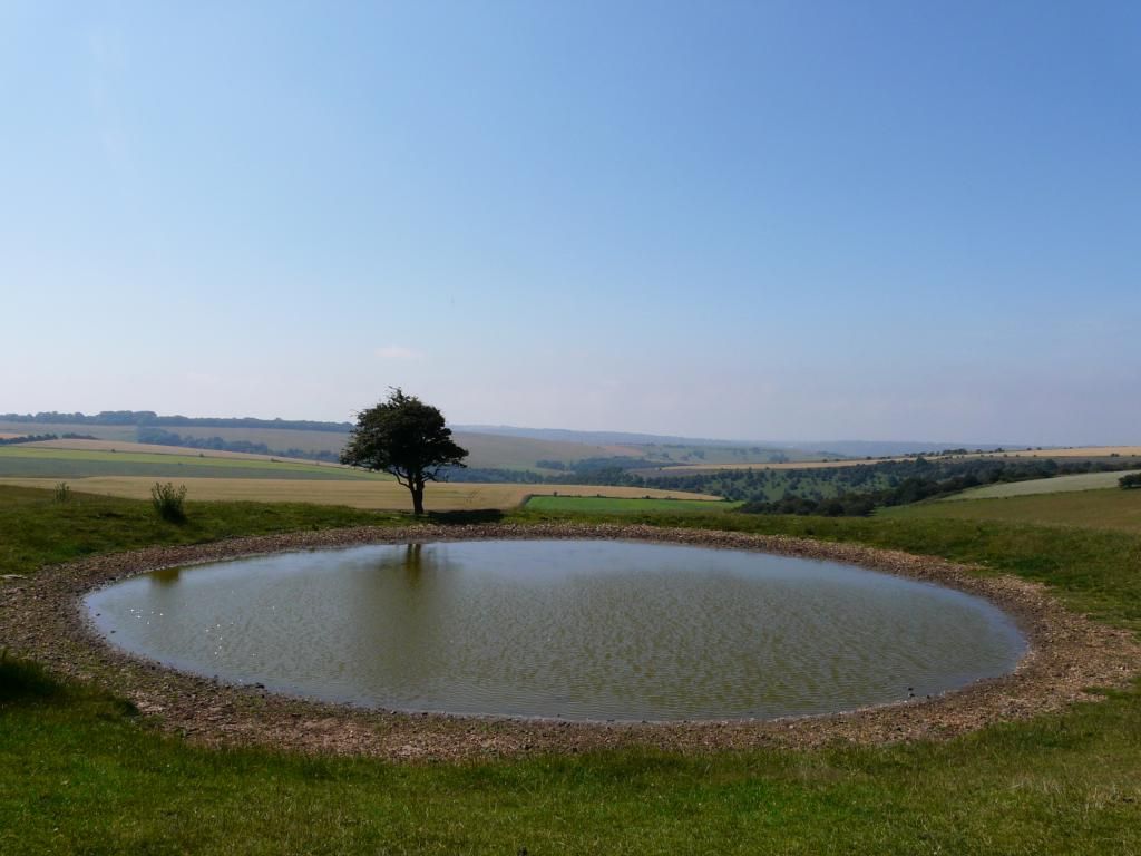
I started near Ingleton, and headed through Low Bentham up onto Slaidburn Road; a great 'quiet lane' with few motorists. Passing Fourstones, and getting on to Lythe Fell Road, the view back of the Three Yorkshire Peaks, and Gragareth (left - modern Lancashire's only remaining mountain!) was notable
for the lack of cloud around Ingleborough's top - although, as you can see, it was an overcast day, with a light wind - perfect cycling weather. The pull up Whitray Fell to the Cross of Greet is ferocious, and it just keeps going for a kilometre - the last 500m to the summit is between 14 and 20%.
From the summit however, the reward is a fantastic roll for nearly 3km down to Cross of Greet bridge, followed by undulating terrain generally down to Slaidburn.
Light refreshment at the Hark to Bounty, and then it was a steady climb along the B6478 back towards Settle. Before reaching Tosside (a Yorkshire village now uneasily straddling the border of modern North Yorkshire and Lancashire) a left turn took me down to Gisburn Forest and Stocks Reservoir. I avoided the forest trails and stayed on tarmac and followed the single track road as it veered northwards, and once again got into some serious uphill.
A 150m stretch of steeper than 20% saw me capitulate; I got off and pushed (with the aid of walk mode, helping nicely with the weight of the bike) for some 300m or so, then remounted as the upslope became more manageable, heading for Bowland Knotts, at the watershed of the Bowland Fells
From here the terrain is a delight - 2.5km of steady downhill, a short upslope and then a further 2.5km downhill, crossing Clapham Common and dropping into the Wenning valley.
At Dubgarth I took a left turn onto Reeby's Lane, which forms part of the 'Way of the Roses' - a 170 mile route across Lancashire and Yorkshire from Morecambe in the west to 'Brid' on the east coast.
At the Forest of Mewith I turned north to return homewards through Bentham - three hours
well spent and 2 10Ah batteries
nearly spent!

And finally, for anyone interested, the profile:
The vertical scale
may be a little distorted

Just edited to add: Total ascent/descent = 4,268 feet!


